Tough hike from Donnersbachwald to the Planneralm
How about hiking from Donnersbachwald to the Planneralm? We have 2 cars. With one car, we drive to the starting point. From our mountain village, we drive right. We follow the main road all the way to the end. There, there is a small car park on the left where we leave our car behind.
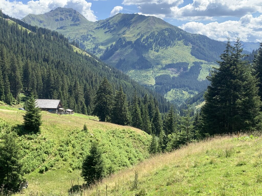
From the parking lot, we follow the gravel road for about 200 metres. Then we follow the path on the left that passes alongside the little stream. On our path, we see several side streams thundering down the steep slopes, flowing down into the central stream. A little further on, there is even a veritable waterfall. After about 50 minutes, we arrive at the Lärchkar Alm. Here we stop for a tasty Brettljause. (Brettljause is a plate with local cheeses and charcuterie served with some bread).
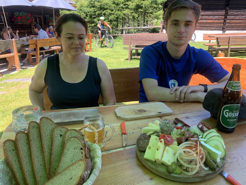
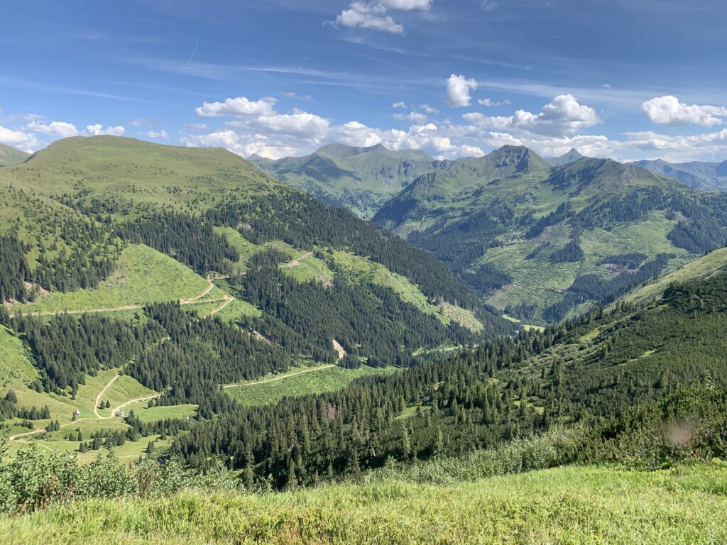
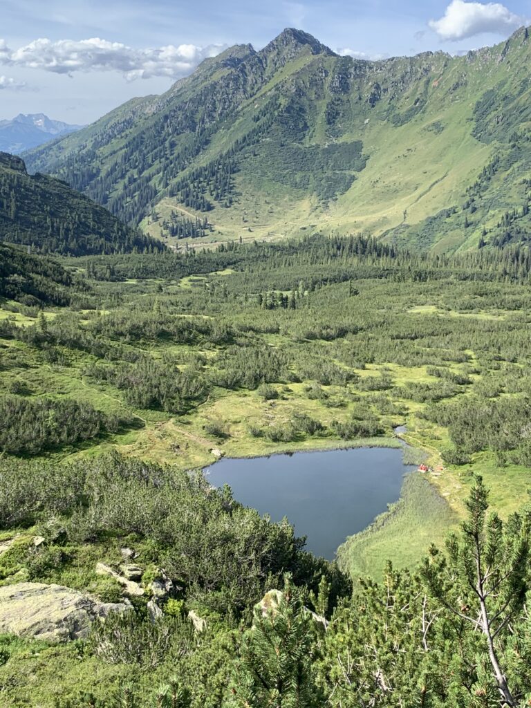
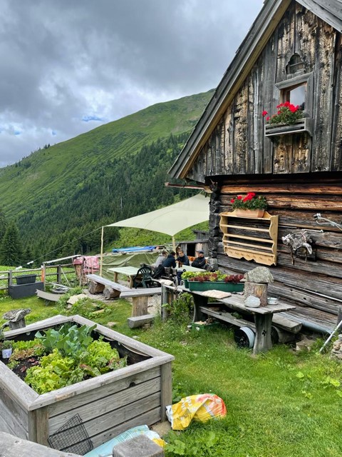
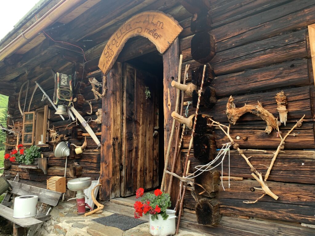
We then continue to the Stalla Alm. It is hot. A beer chilled in mountain water is always welcome. Beyond the Stalla Alm, the real work begins. From here, we have to cross the mountain. As we go higher, the views get prettier and prettier. Before we reach the top, we enjoy the view of Goldbachsee for a while. The last mile is the hardest. We then descend to the Planner Alm. On the way, we pass the Kothüttensee lake.
After this solid trip, we finish with a nice beer at the Planner Alm, where we will be picked up a little later. Cheers.